Explore our industrial-grade, ultra-high-definition imaging hardware engineered for UAV payloads, radiometric thermal integration, machine vision, and remote sensing applications.
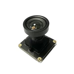
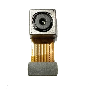
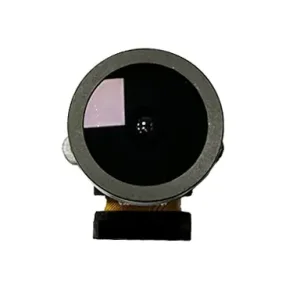
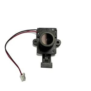
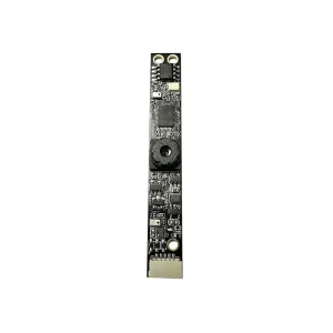
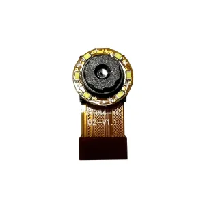
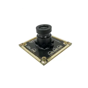
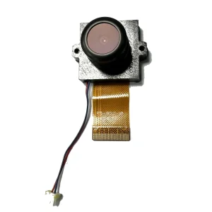
Unifying radiometric LWIR sensors, high-resolution visible cameras, edge-AI computing platforms, and modular multi-rotor airframes into enterprise aerial inspection ecosystems.
In the contemporary industrial ecosystem, high-quality thermal imaging drone services and precision manufacturing facilities represent the pinnacle of non-destructive testing (NDT), automated infrastructure monitoring, and remote sensing technology. Airborne thermal imaging transcends human visual spectrum boundaries by capturing long-wave infrared radiation (LWIR, typically 8μm to 14μm wavelength), translating differential thermal emissions into absolute radiometric temperature mapping. This technology allows asset managers, structural engineers, and public safety teams to identify structural anomalies, electrical overloads, fluid leaks, and fugitives heat losses before cataclysmic system failures occur.
Information Gain Insight: Modern radiometric UAV payloads do not merely record qualitative thermal imagery; they record real-time per-pixel temperature metrics (Radiometric RJPG & R-TIFF format). When coupled with RTK (Real-Time Kinematic) positioning and onboard edge AI processing, thermal drones produce spatially accurate 3D thermal orthomosaic maps capable of evaluating thermal deltas (ΔT) as fine as 0.03°C.
As an established thermal drone factory and ODM/OEM service provider, our manufacturing methodology integrates advanced optical lens design, carbon-fiber structural molding, anti-vibration 3-axis brushless gimbals, and military-grade communication telemetry. By maintaining rigorous ISO 9001 and Class 10,000 cleanroom assembly standards, we supply enterprise drone operators, system integrators, and Fortune 500 energy conglomerates with dependable aerial thermal imaging platforms tailored to complex atmospheric conditions.
Purpose-built aerial systems optimized for critical utility grids, renewable energy fields, emergency management, and smart city infrastructure.
High-voltage transmission lines and electrical substations are vulnerable to resistive heating caused by loose connections, corroded splices, or insulator breakdown. Thermal imaging drones equipped with radiometric LWIR sensors perform automated Beyond Visual Line of Sight (BVLOS) missions to scan high-voltage corridors, detecting phase imbalance and hotspots instantly without requiring hazardous line outages.
Inspecting multi-gigawatt photovoltaic (PV) solar farms using traditional handheld instruments requires months of intensive manual labor. Our autonomous solar inspection drones capture high-throughput radiometric orthomosaics, identifying defective solar cells, string diode failures, mechanical cracks, and vegetation shading anomalies at a rate exceeding 50 Megawatts of capacity per day.
In low-visibility environments, zero-lux night operations, or dense forest canopies, thermal imaging drones provide life-saving situational awareness for first responders. By detecting body heat signatures against cool ground ambient backgrounds, our high-sensitivity thermal payloads allow search and rescue crews to locate missing persons, trace fugitive trails, and assess hazardous material spills safely.
Thermal bridging, moisture ingress under flat roof membranes, and HVAC insulation deficiencies result in millions of dollars in energy waste annually. Dual-sensor UAV systems combine 4K visible photogrammetry with radiometric thermal sensors, delivering detailed building envelope thermographs that quantify thermal insulation values (R-value degradation) and pinpoint subterranean water leaks.
Wildfire management demands real-time intelligence regarding fire perimeter movement, spot fire outbreaks, and buried ember beds hidden beneath thick smoke layers. Equipped with specialized narrow-band optical filters and high-temperature thermal cores (measuring up to +1500°C), thermal UAVs penetrate thick smoke plumes to transmit tactical thermal maps directly to command centers.
Oil refineries, chemical processing plants, and natural gas pipelines present volatile environments susceptible to unseen gas leaks and tank level anomalies. Thermal drones carrying cooled MWIR (Medium-Wave Infrared) or high-grade uncooled LWIR payloads facilitate Optical Gas Imaging (OGI), detecting volatile organic compound (VOC) plumes and monitoring fluid levels inside storage vessels.
Analyzing key technology shifts, thermal core sensor developments, and operational requirements across international enterprise drone sectors.
The global commercial drone market has transitioned rapidly from basic aerial photography to high-precision remote sensing and automated data collection platforms. According to international market research, the enterprise thermal imaging drone sector is projected to expand at a Compound Annual Growth Rate (CAGR) exceeding 18.5% over the coming decade. Driven by stringent infrastructure maintenance mandates, ESG (Environmental, Social, and Governance) compliance, and acute labor shortages in manual inspection fields, industries are heavily investing in autonomous thermal UAV systems.
The core of any thermal imaging drone lies in its detector array technology. The market is primarily divided between two technological branches:
| Technical Characteristic | Uncooled Microbolometer (LWIR) | Cooled Photon Detector (MWIR) |
|---|---|---|
| Spectral Range | 8μm – 14μm (Long-Wave IR) | 3μm – 5μm (Medium-Wave IR) |
| Thermal Sensitivity (NETD) | <20mK to <50mK | <10mK to <18mK (Ultra-Sensitive) |
| Sensor Cooling | No cryogenic cooling required | Integrated Stirling Cryocooler |
| SWaP Profile (Size/Weight/Power) | Low weight (<300g), low power consumption | Heavier (>1.5kg), higher power demand |
| Target Applications | Powerlines, Solar PV, Firefighting, Building Inspections | Optical Gas Imaging (OGI), Long-Range Military Surveillance |
| Maintenance & Lifecycle | Maintenance-free, 100,000+ hour operational lifespan | Cryocooler service required every 8,000–10,000 hours |
For 90% of commercial inspection workflows, Uncooled Vanadium Oxide (VOx) or Amorphous Silicon (a-Si) microbolometer detectors provide the optimal ratio of weight, battery longevity, radiometric precision, and cost efficiency. Our factory specializes in precision optical mounting and thermal calibration of high-resolution uncooled cores (384×288, 640×512, and 1280×1024 pixel matrix options) with pixel pitches scaled down to 12μm.
Navigating airspace safety standards, cyber-security policies, export restrictions, and regional operational compliance.
Global enterprise buyers require ironclad data protection. Our commercial thermal drones feature open-source or fully audited proprietary flight control architecture, non-NDAA restricted components upon customer specification, zero unauthorized cloud transmission, and AES-256 encrypted ground station communications to comply with international government and corporate security standards.
Deploying drones commercially requires strict adherence to global aviation authorities. We assist client fleets by integrating FAA Remote ID modules, dual-redundant IMU/compass avionics, emergency parachute triggers, and geofencing firmware to simplify compliance under FAA Part 107, EASA Specific Category (SORA framework), and UK CAA regulations.
As an end-to-end manufacturing factory, we offer hardware modification services—from custom payload SDK integration (DJI Payload SDK, MAVLink, ROS2) to custom composite airframe production. Our global localized support hubs provide fast spare parts turnaround, gimbal sensor recalibration, and firmware optimization support worldwide.
Quantifiable operational metrics gathered from real-world thermal drone inspection deployments across demanding environments.
Environment: 500kV Outdoor Electrical Substation
Flight Altitude: 35 Meters AGL
Payload Configuration: Dual-Sensor 640×512 Radiometric LWIR + 48MP Visual
Field Outcome: Identified a critical ΔT of +38.5°C on a B-phase disconnect switch breaker clamp. Preventive maintenance scheduled immediately, avoiding an estimated $450,000 in unplanned equipment downtime and grid failure.
Environment: 120MW Desert Solar Power Plant
Flight Speed: 5 m/s with 80% Front/Side Overlap
Software Processing: AI Automated Thermal Defect Detection
Field Outcome: Surveyed entire facility in 2.5 operational days (compared to 6 weeks for ground teams). Detected 412 offline strings, 1,280 hot-spot cells, and 18 blown junction boxes, yielding an instant 4.2% power generation recovery post-repair.
Environment: 45-Story Commercial Glass/Concrete Tower
Sensor Spec: 13mm Lens Thermal Core (<30mK NETD)
Objective: Exterior Wall Delamination & Moisture Ingress Mapping
Field Outcome: Mapped localized thermal mass anomalies during post-sunset cooling phase. Pinpointed 14 distinct zones of subsurface moisture entrapment behind facade cladding without disruptive destructive core sampling.
Pioneering the future of aerial intelligence through edge AI, multi-spectral sensor fusion, and fully autonomous drone-in-a-box docking stations.
The convergence of edge computing, artificial intelligence, and robotic automation is fundamentally redefining thermal imaging drone capabilities. Our factory research and development roadmap focuses on four primary engineering frontiers designed to provide our enterprise partners with sustainable market leadership:
Traditional thermography relies on post-flight image processing software to analyze thermal data stored on SD cards. Our next-generation drone payloads incorporate low-power neural network accelerators (NPU chips capable of 32 TOPS AI inference). This enables real-time airborne anomaly detection—automatically highlighting thermal over-temperatures, identifying human signatures through dense smoke, or tracking gas leak plumes on the pilot's live ground control view with zero telemetry latency.
By merging long-wave infrared thermal streams with visual RGB data at the sensor hardware level (Pixel-Level Fusion), thermal drones generate composite video streams displaying fine visual outlines overlaid directly on thermal gradient maps. Furthermore, integrating thermal LWIR with LiDAR (Light Detection and Ranging) payloads enables simultaneous creation of millimeter-accurate 3D structural models tagged with radiometric surface temperature values.
Continuous industrial monitoring requires zero human intervention. Our automated thermal drone manufacturing lines produce weatherproof (IP65) automated docking stations equipped with HVAC temperature control, fast contact charging, and automated thermal calibration targets. Drones autonomously deploy on scheduled inspection routes, transmit radiometric diagnostics to enterprise cloud platforms via 5G networks, and dock for rapid recharging.
Detailed technical answers for engineering directors, procurement teams, and commercial UAV operations leads.
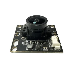
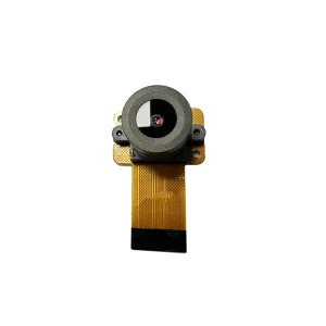
Explore our complete catalog of high-performance optical camera modules engineered for security, industrial automation, and enterprise remote monitoring.
Partner directly with an established thermal camera and drone manufacturing factory. Our senior optical engineers, firmware developers, and aviation integration specialists are ready to tailor solutions to your technical specifications.